Naperville Township
Geographic description
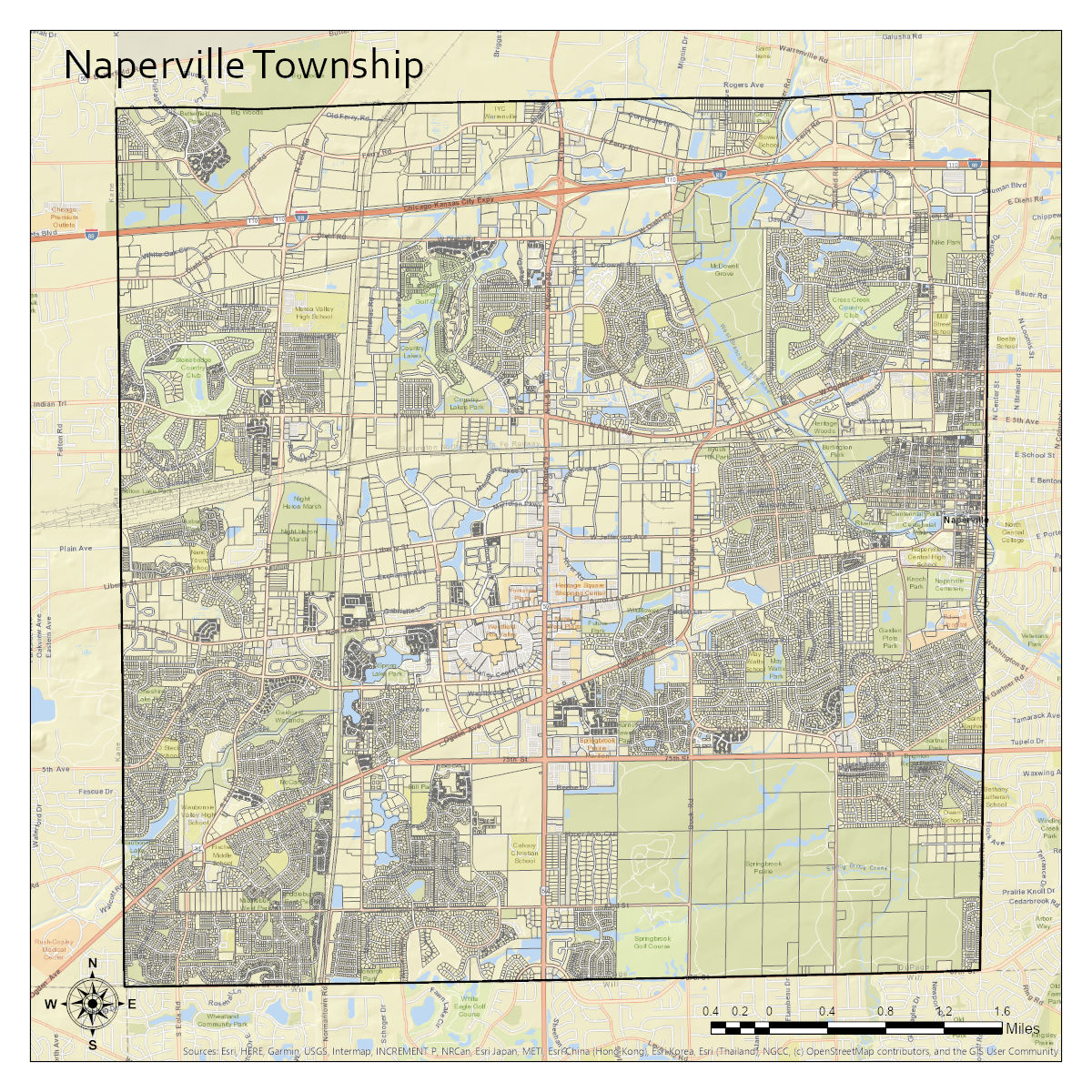
Naperville Township is located in the Southwest corner of DuPage County, IL; approximately 35 miles west of Chicago. The Township is a 36 square mile area bordered by Kane (Kautz Rd.) and Will (87th St.) Counties to the west and south and by Winfield (Townline Rd.) and Lisle (Washington/Modaff) Townships to the north and east respectively. The Township encompasses parts of the cities of Naperville, Aurora, and Warrenville, and the town of Eola. Currently, Naperville Township has just over 34,000 parcels in its jurisdiction, with a little over $4.06 billion in assessed valuation, or around $12.18 billion in market value.